By Rodney Castleden
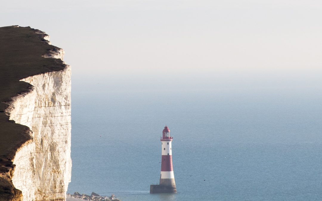
The Romans built lighthouses. They were usually stone towers, square or round in plan, and built close to the approach to a harbour. Modern lighthouses, like the one at Beachy Head, are usually round. Lighthouses were built during the middle ages too, but most of them have gone.
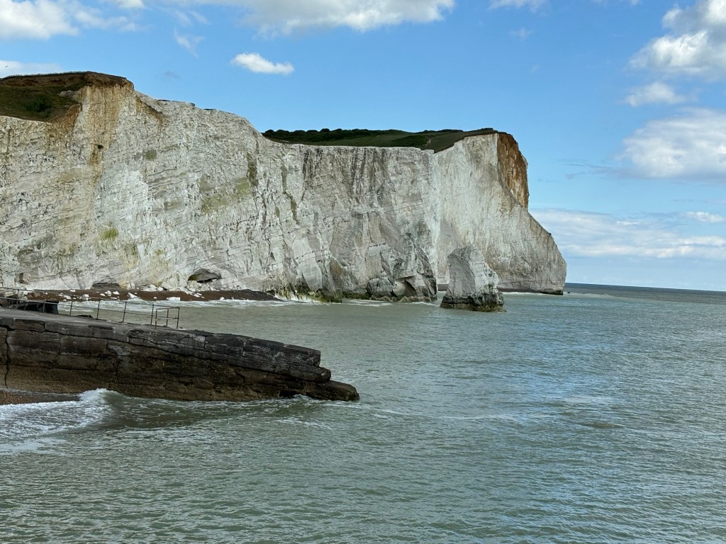
The entrance to Seaford’s harbour lay between the site of the Martello Tower and Splash Point. Entering it, even with small twelfth or thirteenth century vessels, would have been tricky. The entrance was narrow, and immediately to the east were the reefs and cliffs of Seaford Head. A beacon of some kind on the cliffs would have been a useful aid to navigation.
In 1372, a hermitage was mentioned as being on Seaford Head. This suggests an isolated building, inhabited by a solitary figure, a hermit. His duties may have included offering up prayers, but it is also possible that he was responsible for maintaining a beacon as a warning to ships.
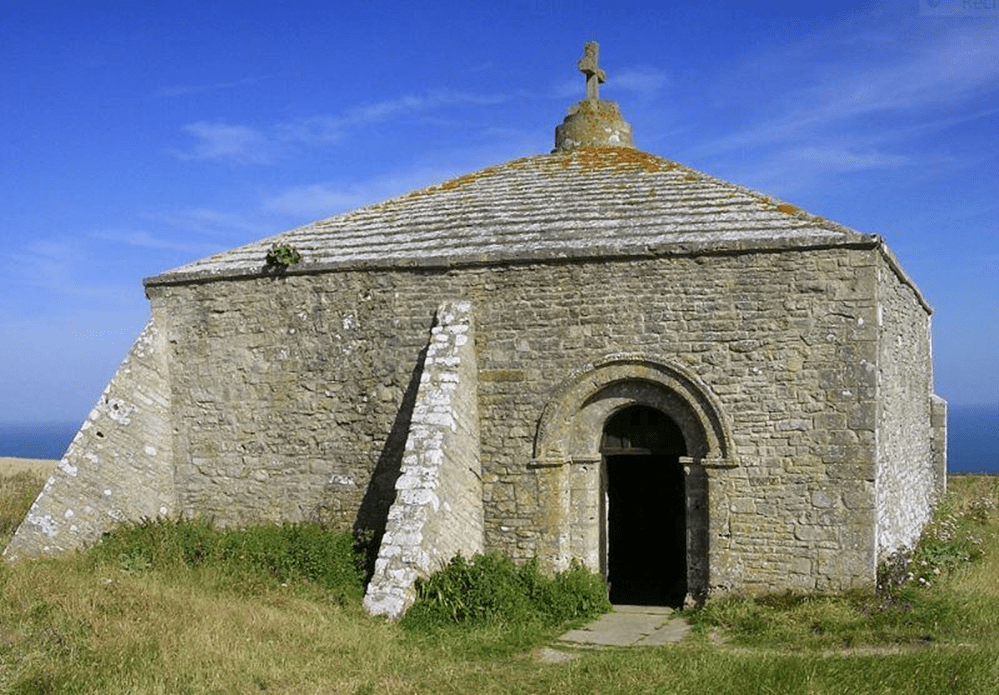
A square stone Norman building still stands on St Aldhelm’s Head in Dorset. St Aldhelm’s Chapel was the home of St Aldhelm, a hermit who kept a fire burning in a cresset to warn passing sailors to keep their distance. The cross on the pyramid-shaped roof is modern. Originally there was a beacon on the apex. It’s not clear how Aldhelm got up there to light it. The building was a chapel, a hermitage, a watch-house and a lighthouse – all in one. It went out of use in about 1600. The Hermitage on Seaford Head may have been a similar structure.
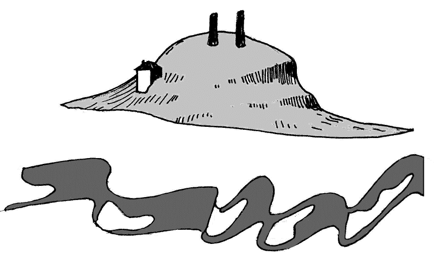
The Armada Survey Map of 1587 bears a perspective sketch of Seaford Head. The summit is labelled ‘Burdyckhille and beacons’. We don’t use the name ‘Burdyke Hill’ any more, but the drawing clearly show two massive posts standing on the top, and presumably they carried large iron braziers – the Elizabethan beacons. On the western slope (the left) of the hill, a small square building is shown, though it is not labelled. This could be the Hermitage.
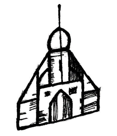
A map dating from 1636 shows ‘Ye Watch House’ in the same position. Most remarkable of all, though, is what we see on the De Ward map of 1620. The map is a fairly accurate survey of the Ouse valley, so there is no reason to doubt what it shows. On the western slope of Seaford Head, De Ward shows a building that looks like a church with side aisles, a pitched roof, and a tower with what appears to be a dome on top. Is this the same building again?
By the nineteenth century the building, whatever it was, had gone. There is no sign of it on the Tithe Map. The 1813 William Roy map shows the East Fort, down on the shore platform at Splash Point, naming it ‘Blockhouse’, and the iron age hillfort on the top of Seaford Head is labelled ‘Old Castle’. On the 1882 map the summit of Seaford Head is called ‘Signalhouse Hill’, but there is no sign on either of these maps of De Ward’s strange domed building.
There isn’t very much evidence to go on, but what we have suggests that on the western slope of Seaford Head there was a small stone building that functioned as a watch-house and lighthouse. For it to be called a hermitage tells us that a solitary hermit lived in it in the middle ages. It would have been his responsibility to maintain the beacon fire and help ships approaching the harbour to reach it safely, in fog or failing light.
Rodney has written many books on the history of Seaford and the local area. A list of them can be found at the end of the article on the Seaford Medieval Market Square. If you are interested in buying any of them, please contact Rodney either by email (rodneycastleden35@gmail.com) or by post (Rodney Castleden, Rookery Cottage, Blatchington Hill, BN25 2AJ). He will deliver copies to you anywhere in Seaford.
